
Free
 1 / 1
1 / 1
1 / 1
0
Downloads
15
Views
Description
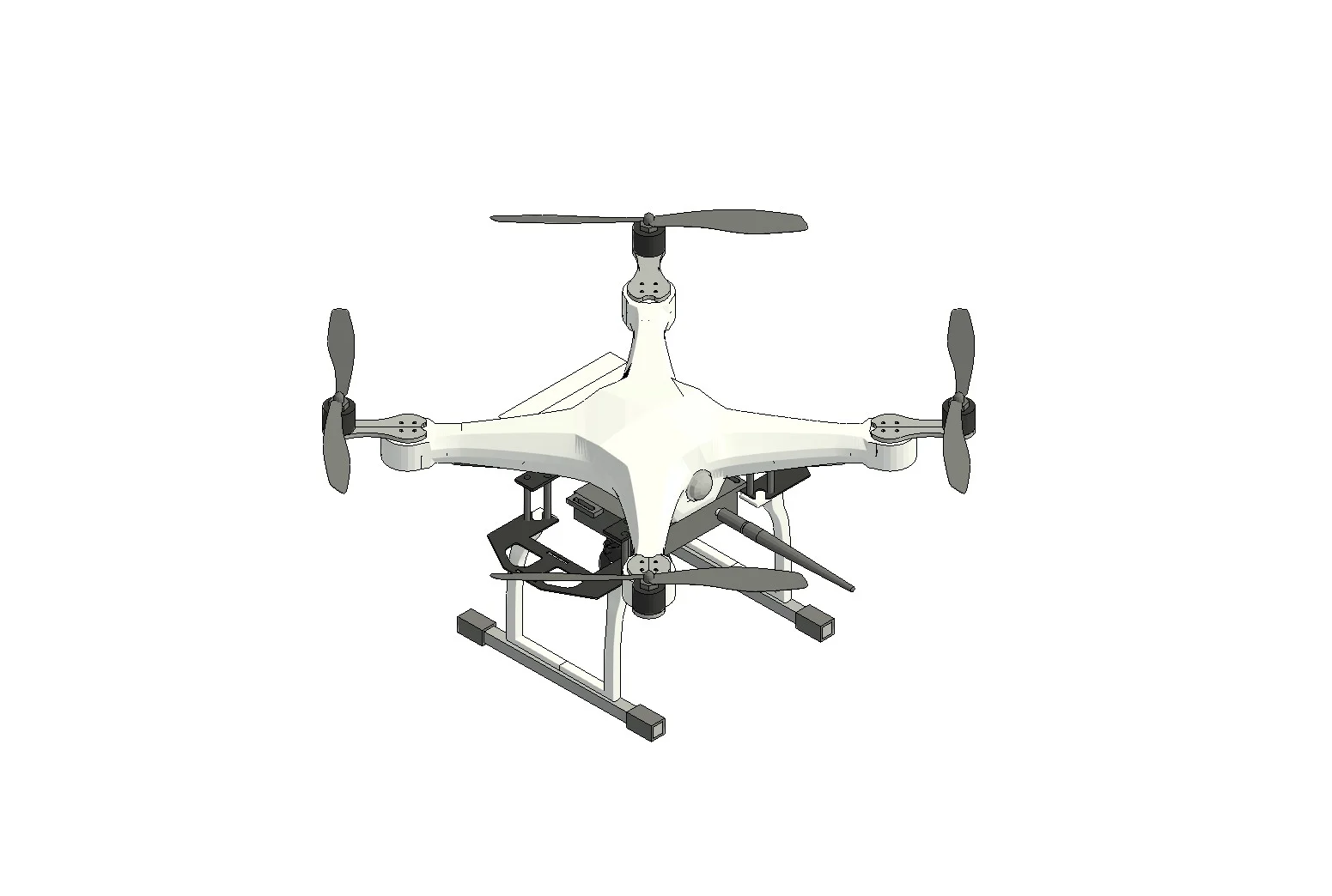
This parametric Revit family represents a professional aerial drone designed for site surveying and progress monitoring. It is optimized for architectural visualizations and site logistics planning.
Link copied to clipboard!
Related Files
User Reviews
Community feedback & ratings
No reviews yet
Be the first to share your experience with this file!